
Greater Long Island coverage is funded in part by Toresco & Simonelli, a boutique injury and family law firm in West Islip. They fight for their clients. Click here to get in touch.
You can put the beach umbrellas away for the next couple of days.
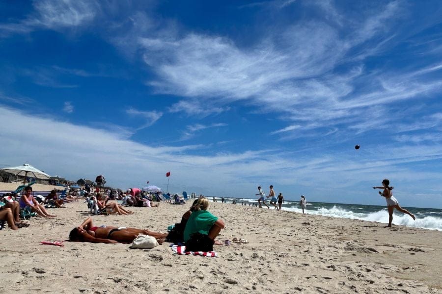
Beaches across the South Shore of Long Island have been closed to swimming as Hurricane Erin churns off the Atlantic coast, bringing hazardous surf, rip currents and powerful swells to area shores.
Local beach closures include Jones Beach, Robert Moses and Smith Point.
The Suffolk County Parks Department announced the closure of Smith Point County Park and Cupsogue Beach County Park due to high-surf conditions. The notice, posted on the department’s Facebook page, states the closures will remain in place through Friday, with ongoing evaluations of coastal conditions determining when it will be safe to reopen.
Earlier on Tuesday, the Parks Department said the high-surf conditions had forced the closure of the campgrounds and outer beaches at Montauk and Shinnecock East.
Meanwhile, Governor Kathy Hochul has ordered swim restrictions at three notable state-run ocean beaches: Jones Beach State Park, Robert Moses State Park and Hither Hills State Park. The governor’s swimming bans are effective through Thursday, as park staff place sandbags, build protective sand walls and remove non-essential equipment to safeguard visitors and facilities.
As of Wednesday afternoon Erin was deemed a category 2 hurricane, with winds up to 110 mph. It was about 400 miles off the coast of Cape Hatteras, North Carolina, moving north-northwest at 10 mph. Beach erosion is anticipated from Florida to New York, with the adverse conditions lasting through Friday.
Expanded Long Island beach closures
A sweeping list of South Shore beaches have been ordered closed to swimming as of Wednesday due to the dangerous conditions, according to Newsday. The full list includes:
- Atlantic Avenue Beach
- Atlantique Beach
- Cedar Beach (Babylon)
- Coopers Beach
- Cupsogue Beach County Park
- Davis Park
- Ditch Plains
- Eugene Nickerson Beach
- Flying Point Beach
- Georgica Beach
- Gilgo Beach
- Great Gun
- Indian Wells Beach
- Jones Beach State Park
- Lido Beach
- Main Beach
- Mecox Beach
- Ocean Beach
- Ocean Beach Park (Long Beach)
- Overlook Beach
- Pikes Beach
- Ponquogue Beach
- Robert Moses State Park
- Sagg Main Beach
- Sailors Haven Beach
- Smith Point County Park
- South Edison Beach
- Tiana Beach
- Tobay Beach
- Two Mile Hollow Beach
- W. Scott Cameron Beach
- Watch Hill Beach
- Wiborg Beach
Hurricane Erin status as of Wednesday afternoon
📍 Location: Approximately 400 miles southeast of Cape Hatteras, North Carolina
🌀 Current Category: Category 2 Hurricane
🌬️ Maximum Sustained Winds: 110 mph (175 km/h)
🌊 Peak Swell Heights: Up to 20 feet along the U.S. East Coast
⚠️ Hazards:
- Life-threatening rip currents and surf
- Coastal flooding with storm surges up to 4 feet
- Beach erosion from Florida to New York
🧭 Movement: North-northwest at 10 mph (16 km/h)
🕒 Expected Conditions Through: Friday, August 22
Sources: ABC News, National Hurricane Center and NOAA.
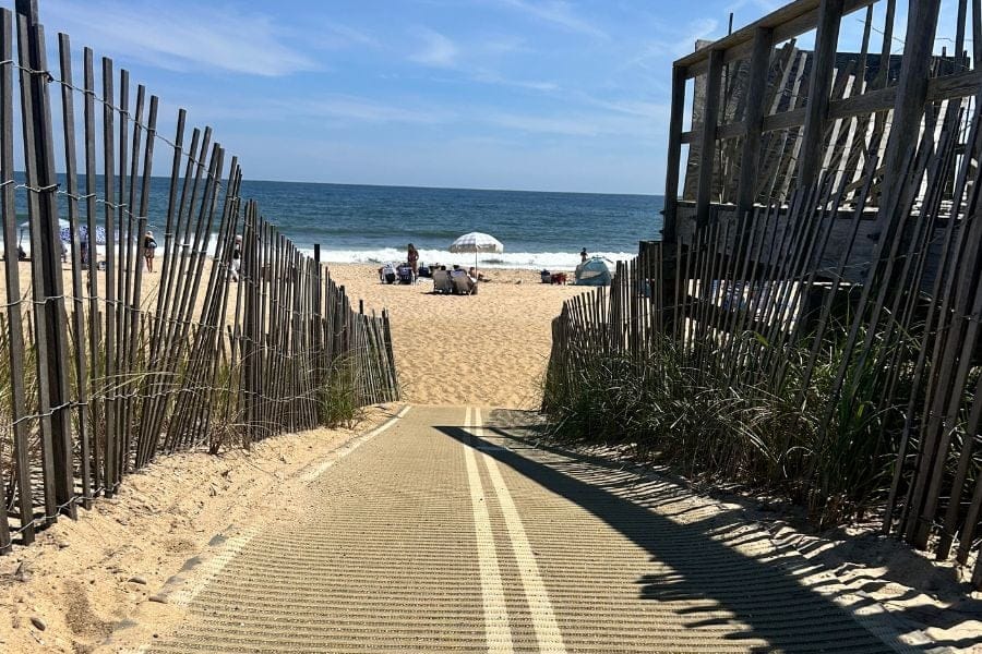
Top photo: South Edison Beach in Montauk is among the many closed Wednesday and Thursday along Long Island’s South Shore (Brian Harmon photo).