
Greater Long Island coverage is funded in part by Toresco & Simonelli, a boutique injury and family law firm in West Islip. They fight for their clients. Click here to get in touch.
It’s beginning to look a lot like winter!
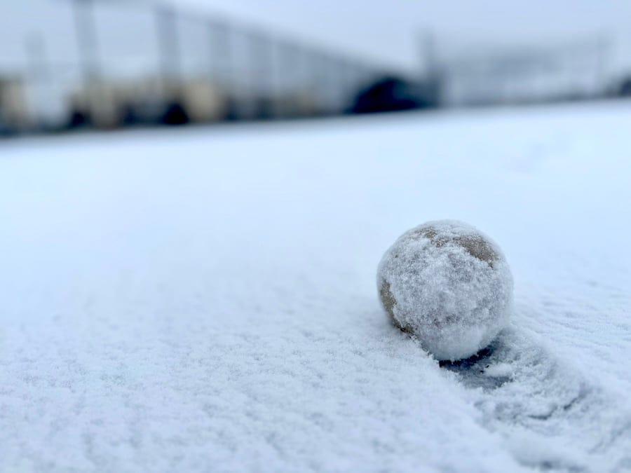
Long Islanders woke up to a white wonderland on the first day of winter. The season’s first snowfall began overnight and is expected to continue through the morning before tapering off by midday and early afternoon, according to the National Weather Service (NWS).
As of 9:30 a.m., the NWS released the following official snowfall measurements:
Nassau County:
- 1 ENE Glen Cove: 2.2 inches (6:19 AM) – Public report
- Hicksville 1.4 SSE: 1.9 inches (7:00 AM) – CoCoRaHS
- Massapequa Park: 1.3 inches (7:00 AM) – CoCoRaHS
- Syosset: 1.0 inch (7:32 AM) – COOP
Suffolk County:
- 1 NW Dix Hills: 2.1 inches (7:10 AM) – NWS Employee
- Commack 1.3 SW: 2.0 inches (7:00 AM) – CoCoRaHS
- Centerport: 1.9 inches (7:00 AM) – COOP
- Islip Airport: 1.9 inches (7:00 AM) – Official NWS Observation
- East Quogue: 1.0 inch (8:30 AM) – NWS Employee
- Mount Sinai: 1.0 inch (8:00 AM) – COOP
- Blue Point 0.3 ENE: 0.8 inch (7:00 AM) – CoCoRaHS
- Upton: 0.6 inch (7:00 AM) – Official NWS Observation
- Baiting Hollow: 0.5 inch (7:00 AM) – COOP
Looking ahead to tonight, the NWS is forecasting frigid conditions. Temperatures are expected to drop to a low of around 15 degrees, but with wind gusts reaching up to 29 mph, it will feel like 0 to 10 degrees.
The cold weather is expected to continue through Christmas, with a 40% chance of additional snowfall on Christmas Eve.
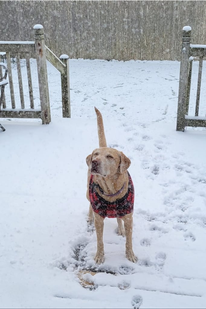
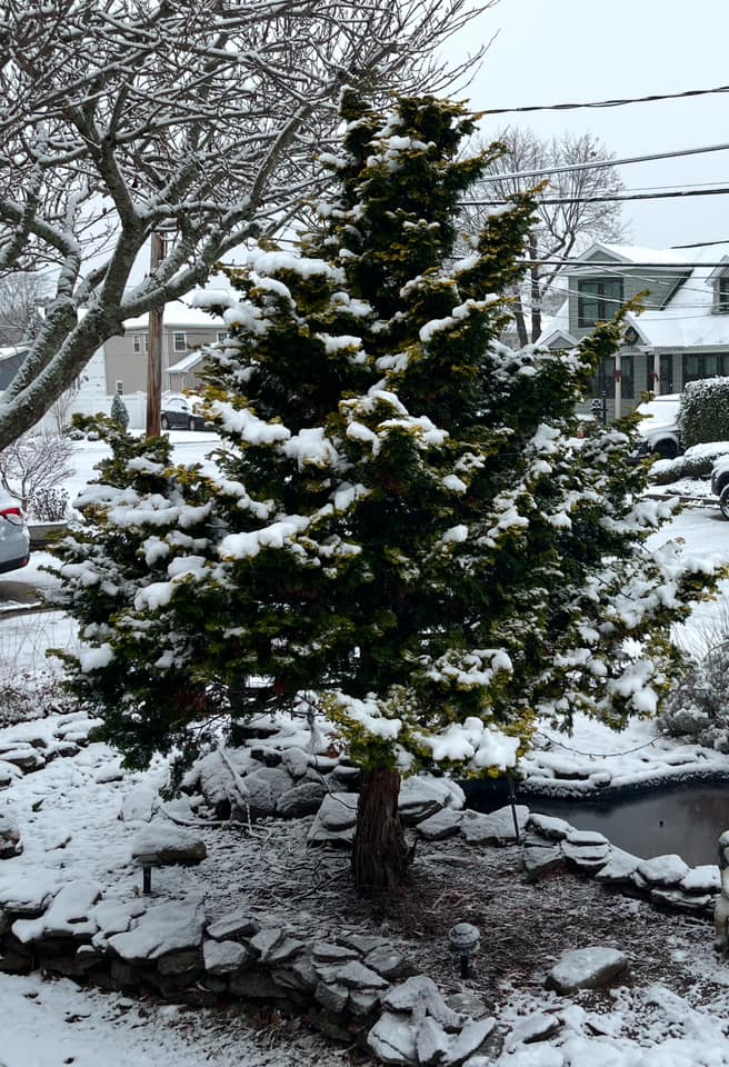
Scroll to see snowy photos sent in by GLI readers. If you want to add your photo, email [email protected].