
Greater Long Island coverage is funded in part by Toresco & Simonelli, a boutique injury and family law firm in West Islip. They fight for their clients. Click here to get in touch.
Long Island could see its snowiest winter in five years.
If the stars align, so to speak.
The last time the region topped its average snowfall (about 30 inches) was the winter of 2020–2021, when Central Park recorded 38.6 inches. Since then, totals have cratered: 17.9 inches, 2.3 inches, 7.5 inches, and last year’s 12.9 inches.
Now, new outlooks suggest this winter could finally break that streak — but key climate patterns have to line up.
The National Weather Service says the odds of a warm, quiet winter versus a cold, stormy one are nearly even. Their Climate Prediction Center is calling for a 33 to 40 percent chance of slightly above-average temperatures and equal chances of below-, near-, or above-average precipitation.
That translates to an average winter temperature around 42 degrees and roughly 11.21 inches of liquid precipitation — with every inch of liquid roughly equal to a foot of snow, depending on temperature and wind.
But equal chances don’t mean equal outcomes. A winter with average precipitation can still produce far less snow if most of it falls as rain.
A weak La Niña — and a lot of uncertainty

“It won’t take much to beat the past few seasons,” said Jay Engle, meteorologist at the National Weather Service New York office. “Snowfall amounts could be quite variable for the area with a weak La Niña.”
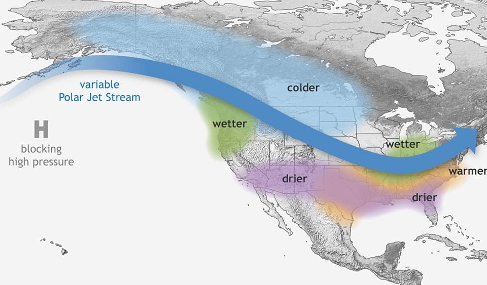
That weak La Niña — cooler-than-normal waters in the central and eastern tropical Pacific — is a major driver of this year’s forecast. Historically, it can swing wildly. The same pattern produced nearly 40 inches of snow in NYC during 2017–2018, but only 2.5 inches during the 2022–2023 season, the lowest total on record.
Engle said weak La Niña winters typically average near to slightly below normal snowfall, but stressed this is not an official seasonal snow forecast. The agency avoids projecting snow-relative-to-normal numbers because a single storm can skew an entire season.
What local meteorologists are calling for
Local meteorologists are just as split.
- Fox 5’s Nick Gregory predicts 15 to 20 inches for the region.
- NY Metro Weather’s John Homenuk is calling for 25 to 32 inches.
- ABC meteorologist Alan Nosoff forecasts 25 to 35 inches.
All three expect above-average temperatures overall, especially later in the season, with multiple cold spells likely after Thanksgiving.
The Thanksgiving outlook
As for the holiday itself, Thursday is expected to bring slightly below-average temperatures in the mid to upper 40s. There’s a chance of rain early, but most of the day should be sunny.
Watching December
Looking ahead, some weather models show the potential for a sudden stratospheric warming event in early December.
That’s when the polar stratosphere heats rapidly, disrupting the cold Arctic air and sometimes pushing it south.
“If you have a sudden stratospheric warming event, what that typically would mean is that you would get a displacement of higher latitude cold air farther south into the mid latitudes, but you don’t know where that’s going to get aimed,” Engle said. “So somebody would get cold, but maybe it’s the intermountain west, Scandinavia, or Europe, and not here.”
If the polar vortex does split and drift south, Engle said it could create a longer-lasting extreme weather pattern with both warm and cold spells across the continental U.S. as winter gets underway.
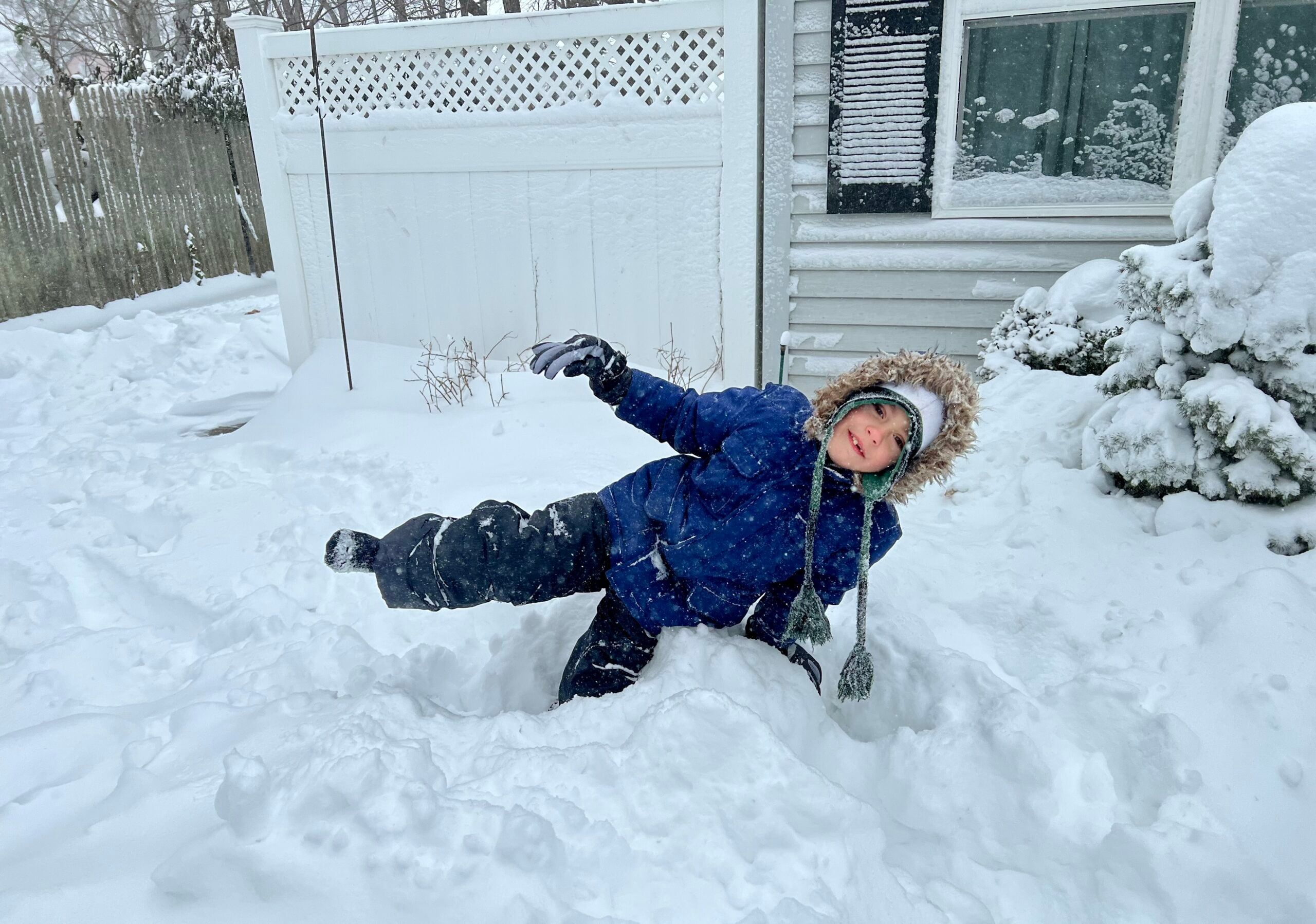
Top: Snowfall in East Islip on Jan. 29, 2022. (GLI stock photo)


