OUR SPONSOR
Greater Bay Shore coverage is funded in part by Shoregate, now leasing brand-new premium apartment homes in the heart of Bay Shore. Click here to schedule a tour.
The National Weather Service confirmed that six tornados touched down on Long Island during the Nov. 13 storm.
Previous reports indicated that the weather service’s New York City forecast office issued a record-breaking number of five tornado warnings that day and more tornado warnings this month than any month since September 2012.
Meteorologist Joe Pollina of the NWS in Upton told Greater Long Island this is the final number of tornadoes recorded on Long Island for Nov. 13 and that the weather service is no longer looking for others.
Five of the six tornadoes merited an EF-0 rating; the weakest tornado on the Enhanced Fujita Scale carries wind speeds of 65-85 mph.
The strongest tornado on the island that day swept through Shirley and Manorville with EF-1 winds of 95 to 105 mph.
Here is the full list of regions hit by the tornadoes and their wind speeds :
- Nassau County
- Woodmere-Hempstead-Uniondale-Levittown
- EF-0 rating; 50 to 85 mph winds.
- Woodmere-Hempstead-Uniondale-Levittown
- Suffolk County
- East Islip
- EF-0 rating; 65 to 85 mph winds.
- North Bellport
- EF-0 rating; 70 to 85 mph winds.
- Shirley to Manorville
- EF-1 rating; 95 to 105 mph winds.
- Remsenberg to Westhampton
- EF-0 rating; 70 to 85 mph winds.
- Hampton Bays to North Sea
- EF-0 rating; 70 to 85 mph winds.
- East Islip
The last recorded tornado on Long Island prior to the deluge of them on Nov. 13 was in 2019 when a severe thunderstorm moved northeast over the Mastic and Shirley area and then produced an EF-0 tornado in Manorville.
Continue to follow greaterlongisland.com for future weather coverage.
Previous coverage:
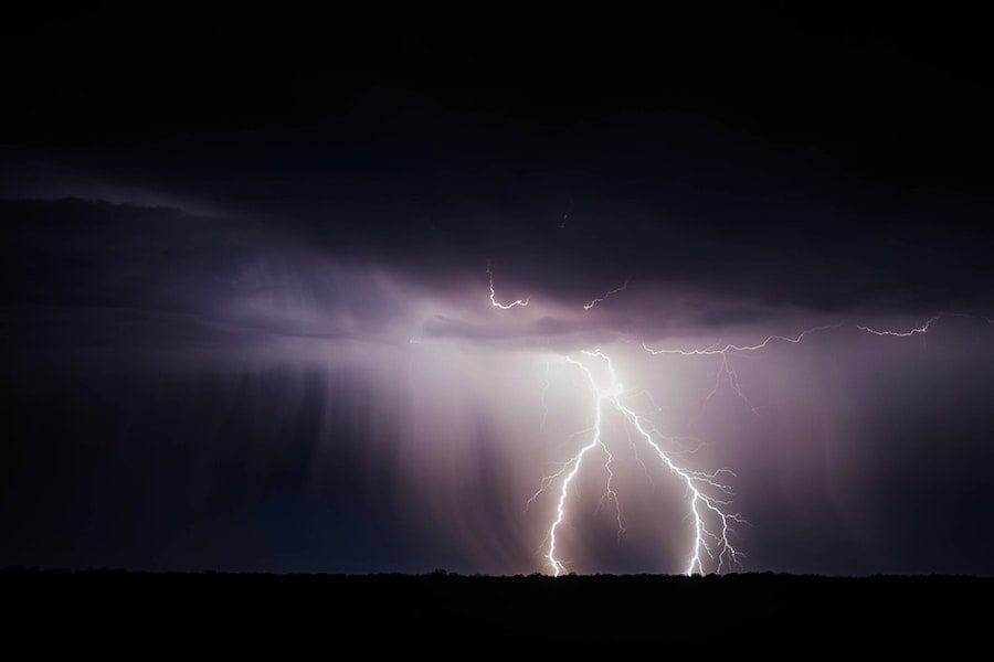
Top: Lightening strike. Photo by Brandon Morgan on Unsplash


