Click here for Greater Long Island newsletters. Click here to download the iPhone app. Or follow Greater Fire Island on Instagram.
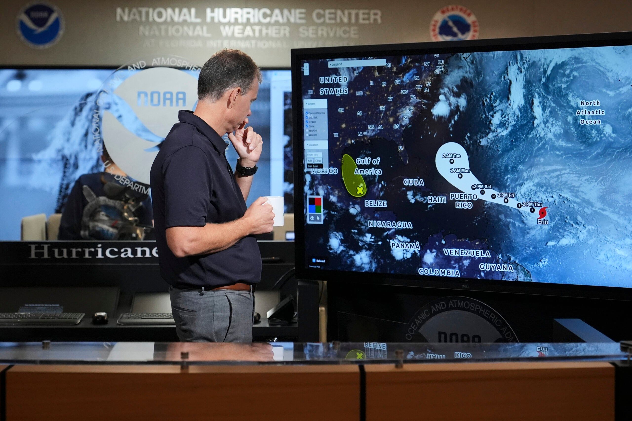
Forecasters say Tropical Storm Erin, now churning in the Atlantic Ocean about 800 miles east of the Northern Leeward Islands, could bring dangerous surf, rip currents and minor coastal flooding to Long Island as early as early next week — even without a direct landfall.
The South Shore and East End are most at risk for rough seas, high-tide flooding and beach erosion.
AccuWeather warns that open-ocean waves could build to 50 feet, producing breakers of 10 to 15 feet along portions of the East Coast, including Long Island beaches along the South Shore.
The Washington Post reports that life-threatening rip currents, large swells and pounding surf are possible as the storm passes offshore.
Rapidly intensifying, Erin is expected to become the season’s first hurricane by Friday, according to AccuWeather. It’s currently carrying sustained winds of 60 mph and could strengthen to a major Category 3 hurricane over the weekend before tracking north and sliding between the East Coast and Bermuda next week.
That would make it the season’s first hurricane.
“There is a window of opportunity for Erin to rapidly intensify into a Category 4 hurricane this weekend or early next week,” AccuWeather said.
Most vulnerable to hurricane forces on Long Island are low-lying areas — including Fire Island, bayfront communities, and other exposed coastal neighborhoods. The risk of inland flooding from rain is historically lower for Long Island, unless a storm shifts west.
Air travel disruptions remain possible depending on the storm’s trajectory. Some major airlines have issued travel waivers for passengers scheduled to fly between Aug. 13-15, according to Condé Nast Traveler.
Top photo: Jamie Rhome, deputy director of the National Hurricane Center, monitors the paths of Tropical Storm Erin and an area of low pressure over the Bay of Campeche at the National Hurricane Center, Thursday, Aug. 14, in Miami. (AP Photo/Lynne Sladky).


