OUR SPONSOR

Greater Babylon coverage is funded in part by The Argyle Theatre, where Broadway comes to Babylon. Click here for tickets to Prince of Egypt, April 16 – June 7.
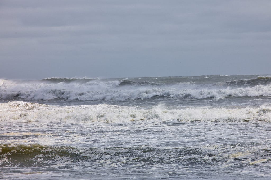
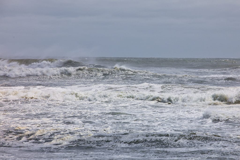
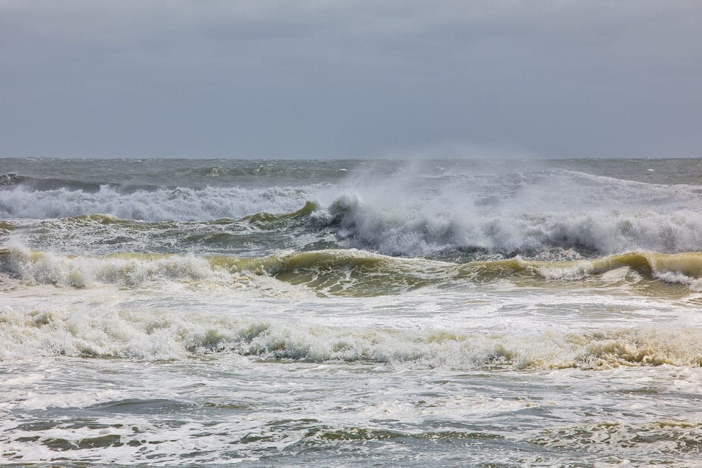
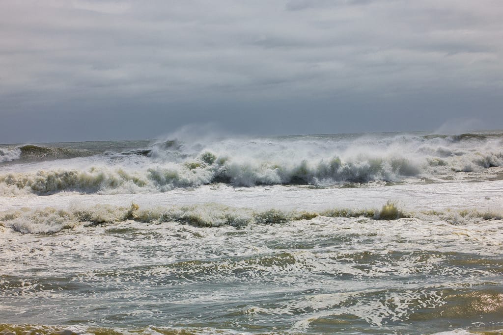
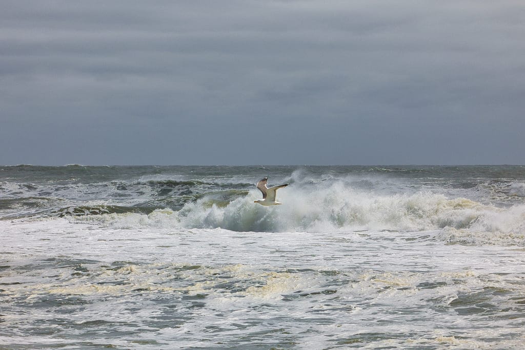
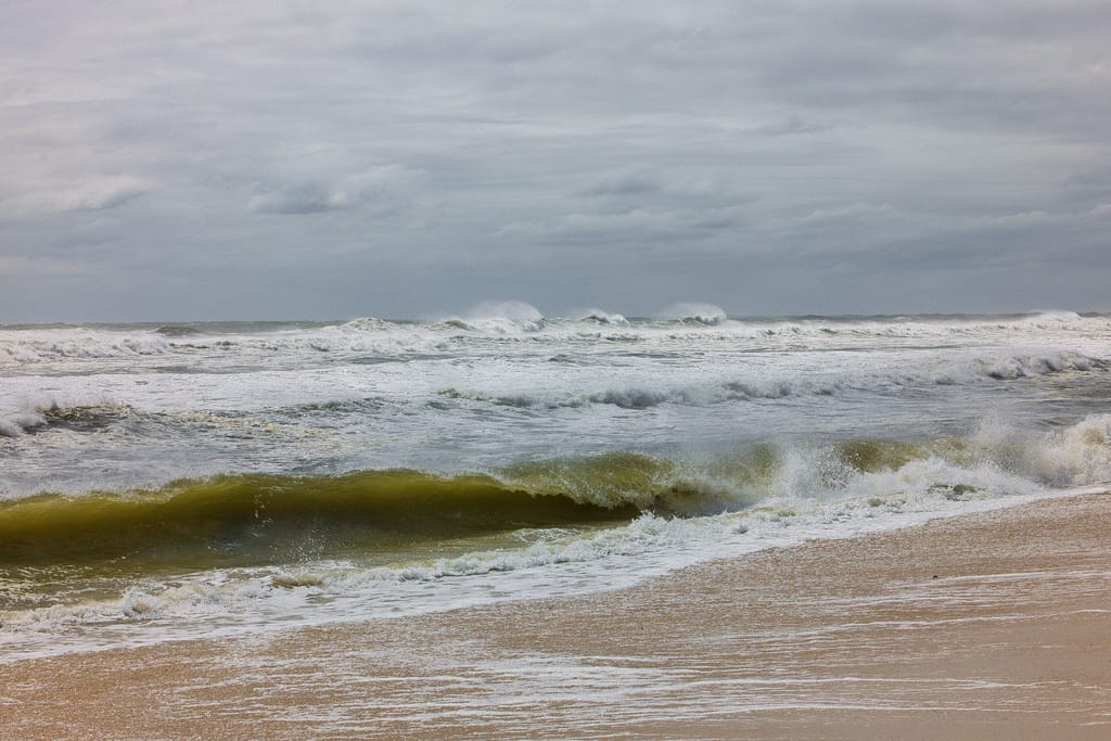
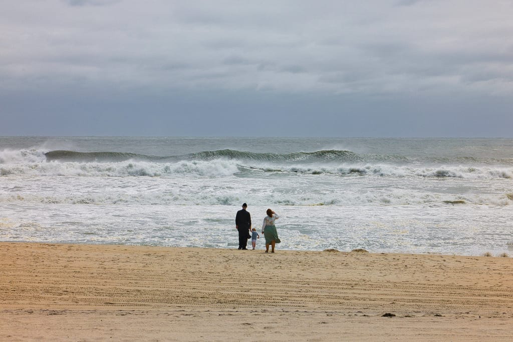
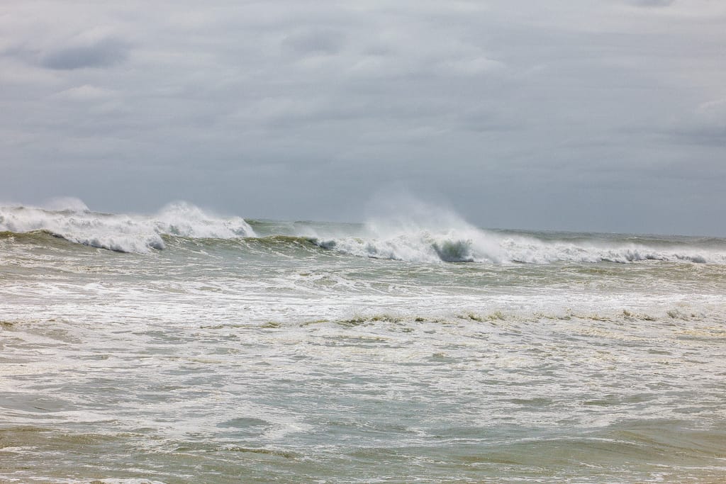
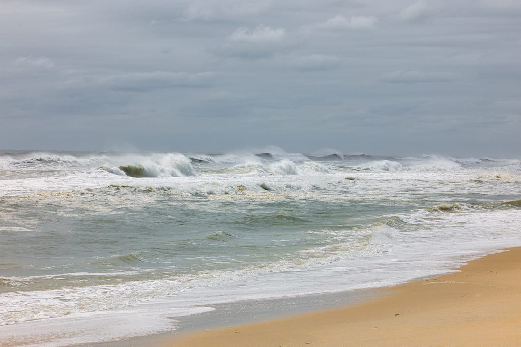
Erin, currently a Category 2 hurricane measuring a reported 700 miles wide, continues its northeastern-bound march up the Atlantic Ocean.
And the entire Eastern Seaboard is feeling the brunt. The storm, which as of Thursday afternoon was located nearly 300 miles east of North Carolina, has inundated coastal communities, especially in the Outer Banks area, and has kicked off massive ocean waves from Florida to New England.
The National Weather Service has issued a high surf advisory, with breaking waves building 9 to 13 feet through Thursday night before settling to about 5 to 9 feet by Friday afternoon.
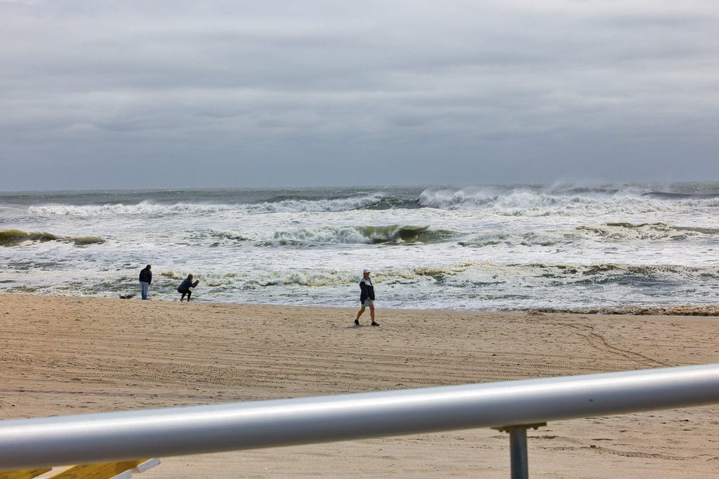
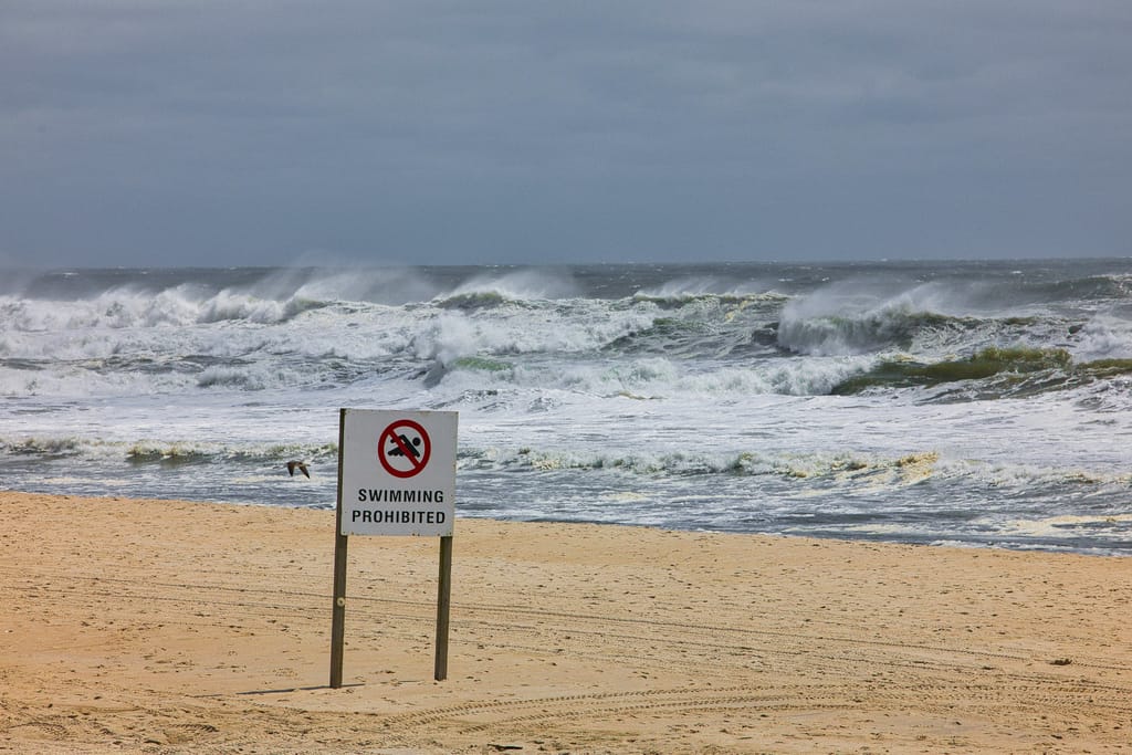
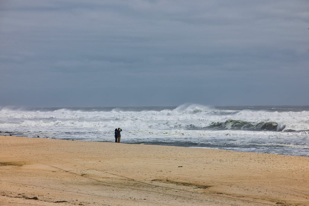
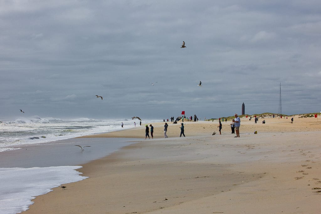
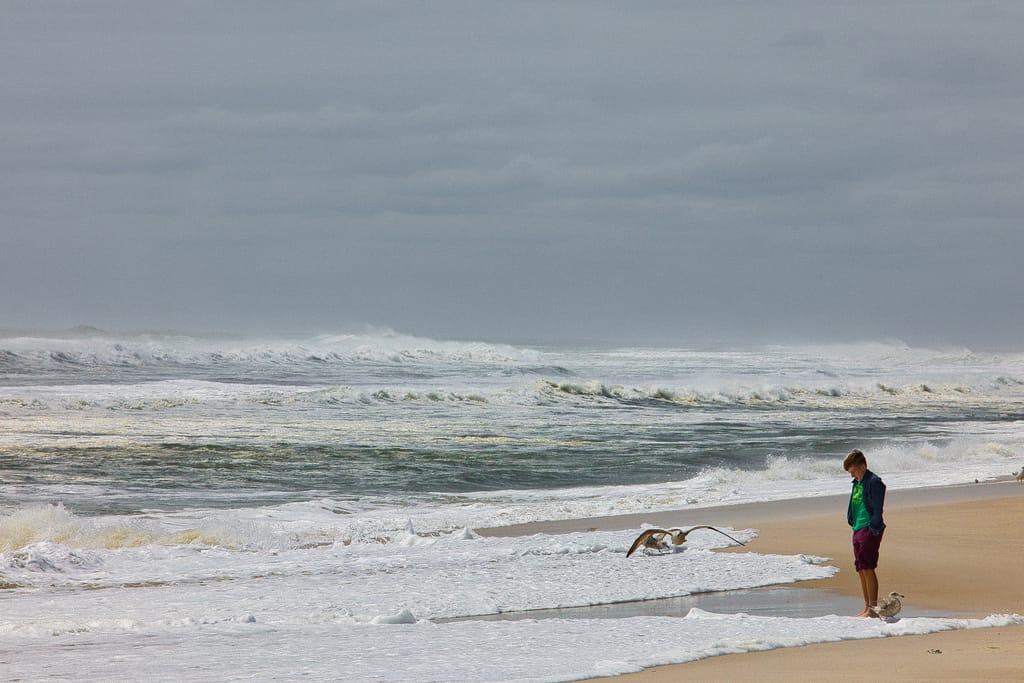
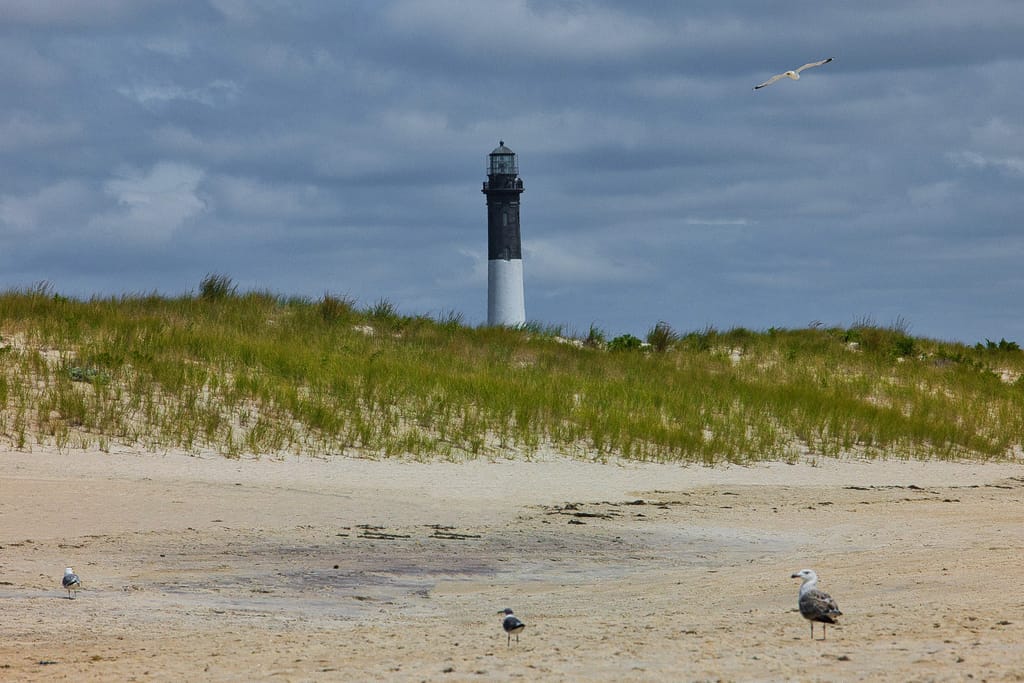
Swimming on Long Island is currently prohibited, but that didn’t stop beach lovers and curiosity seekers from heading to Field 5 at Robert Moses State Park on Thursday.
Greater Long Island photographer Eric Micallef joined them, and took these photos:
Robert Moses photos


Your Long Island news, delivered.
Subscribe to the GLI Newsletter — its free