

Greater Massapequa coverage is funded in part by Greater Long Island Dental, a family-oriented general and cosmetic dental practice offering advanced technology and personalized patient care.
Every Thursday auto ferry between Orient Point and New London is scrapped as the NWS warns of coastal flooding and life-threatening rip currents on LI
Forget Foxwoods this weekend.
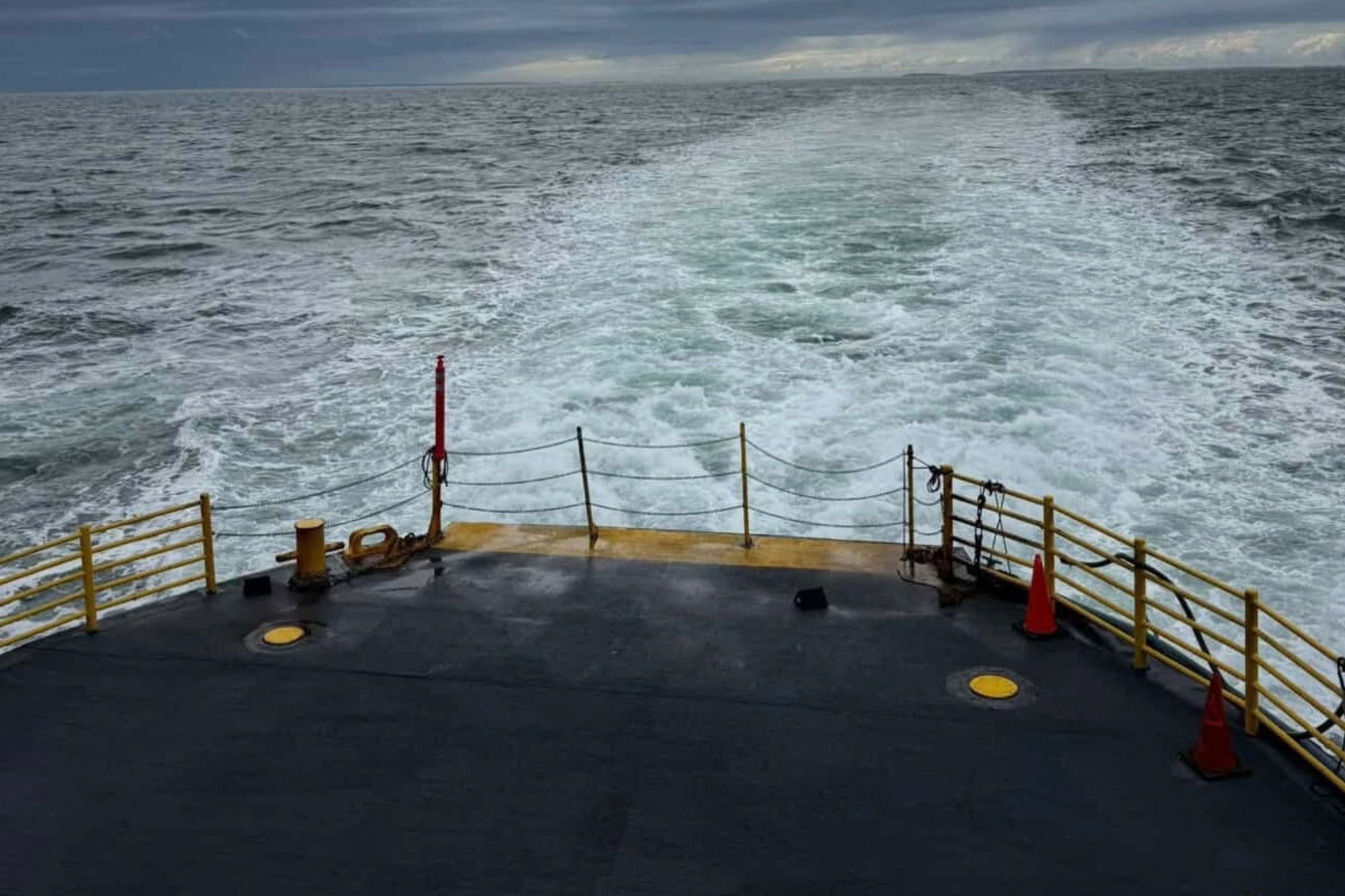
Cross Sound Ferry, the go-to route for Long Islanders heading to Connecticut casinos, has pulled the plug on Thursday’s auto ferry service between Orient Point and New London, Connecticut, as a nor’easter strengthens off the coast and threatens Long Island with damaging winds, coastal flooding and rough seas.
The ferry company canceled 15 Thursday crossings, citing impending weather and sea conditions. Departures from New London at 6:30 a.m., 7:30 a.m., 10:30 a.m., 11:30 a.m., 2:30 p.m., 3:30 p.m. and 6:30 p.m. were scrubbed, along with departures from Orient at 8 a.m., 8:30 a.m., 9:30 a.m., 12:30 p.m., 1:30 p.m., 4:30 p.m., 5:30 p.m. and 8 p.m.
The cuts began Wednesday night, when the 7 p.m. auto ferry from New London was canceled.
The company has not yet announced whether service will be affected Friday or over the weekend. Travelers should check the Cross Sound Ferry website and social media before heading to either terminal.
The storm is also disrupting service to Block Island. The Block Island Ferry canceled all high-speed and traditional ferry departures Wednesday because of sea conditions. It also canceled every high-speed run on Thursday.
On the traditional ferry, Thursday’s 8:30 a.m. departure from Point Judith, Rhode Island, and the 8:15 a.m. departure from Block Island were canceled. The company said later Thursday departures were questionable.
The ferry line said it is watching the NWS marine forecast closely and warned riders to expect multiple days of service interruptions as the slow-moving ocean storm moves through the area Friday and Saturday.
NWS: Winds will peak Friday through Saturday
The National Weather Service office in Upton expects winds to keep building through Friday and Saturday, peaking Friday and through Saturday night before tapering off Sunday. Gusts could reach 35 to 50 mph, NWS meteorologist Jim Connolly told Patch. How much rain falls depends on the storm’s track, and early forecasts called for less than an inch.
The South Shore faces the most immediate threat. In southern Nassau, a coastal flood advisory is in effect from 7 p.m. Thursday to 9 a.m. Friday, with up to a foot of water possible in vulnerable waterfront areas.
A coastal flood watch follows for the Friday evening and Saturday morning high tides, when water could rise two to three feet above ground in vulnerable areas. The NWS warned that flooding could reach roads, parking lots, parks, lawns, and waterfront homes and businesses with basements.
In southwest Suffolk, a coastal flood advisory runs from 7 p.m. Thursday to 9 a.m. Friday, with water rising up to a half foot above ground. Forecasters said more advisories are expected for the Friday night and Saturday morning high tides.
A high rip current risk remains in effect along the ocean beaches through Friday afternoon. The NWS warned that rip currents will likely be life-threatening and urged beachgoers to stay out of the surf.
Drivers should not go around barricades or through water of unknown depth, the NWS said.
Top: Facebook/Cross Island Ferry

Your Long Island news, delivered.
Subscribe to the GLI Newsletter — its free