

Our coverage is supported by
McIntyre, Donohue, Accardi, Salmonson & Riordan, LLP — representing New York’s injured workers for 70+ years.
Update; The highest inch count on Long Island from the Feb. 22-23 storm ended up being in Central Islip at 31 inches, according to the National Weather Service. The highest in Nassau was 25.4, recorded in North Merrick.
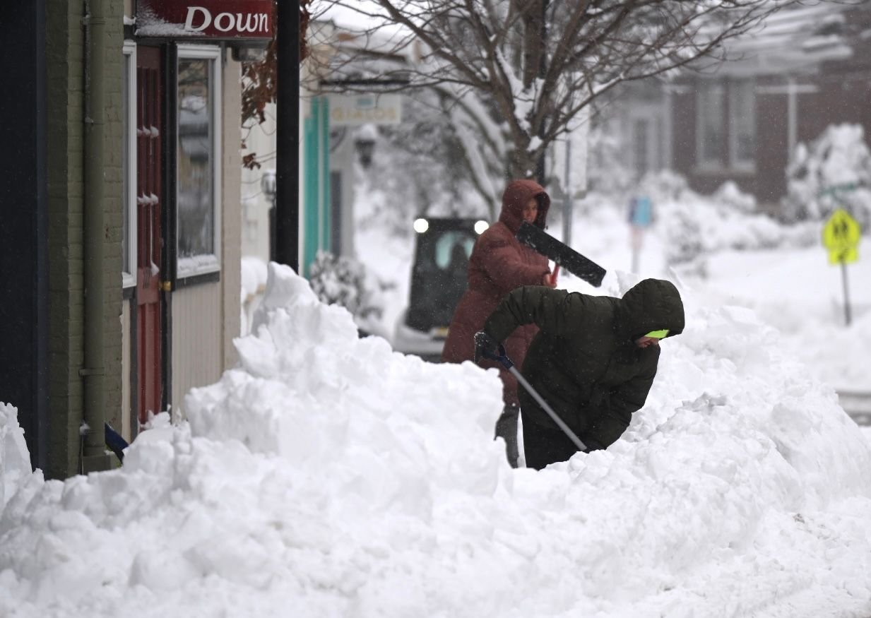
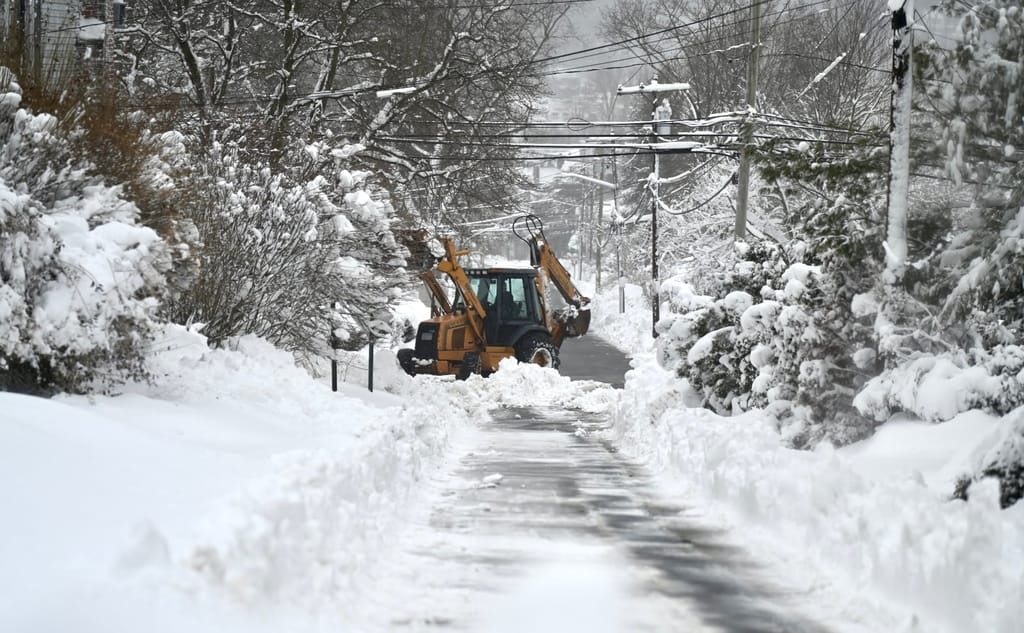
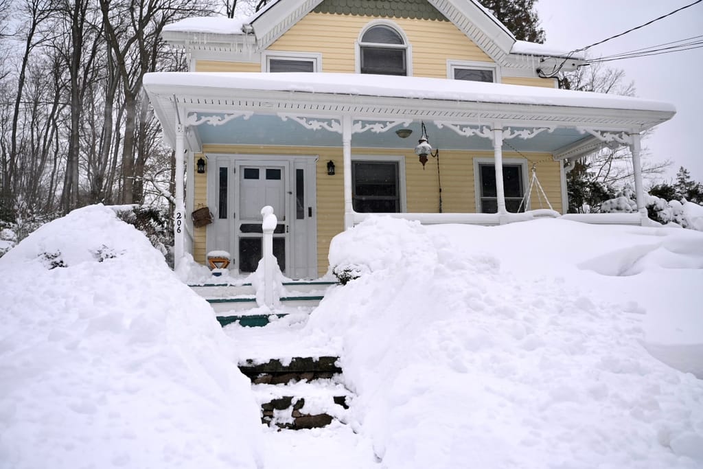
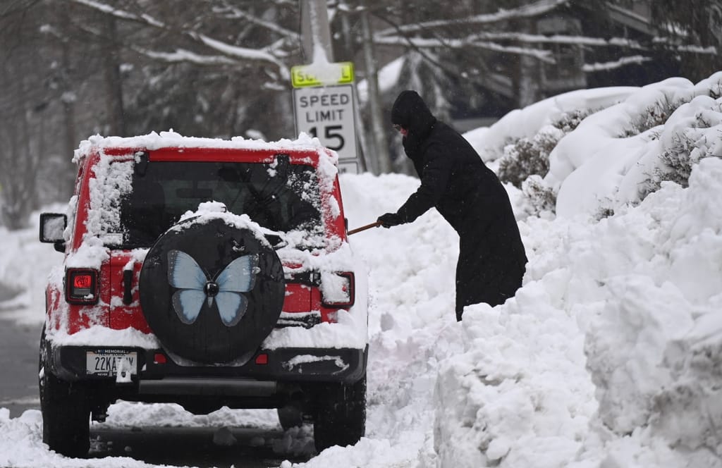
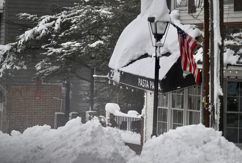
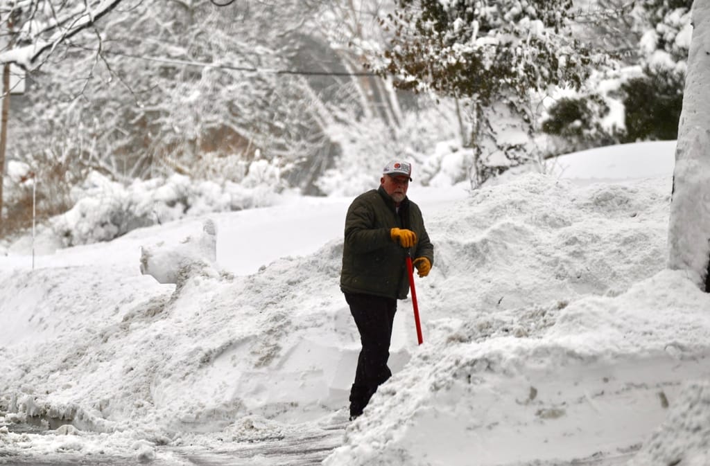
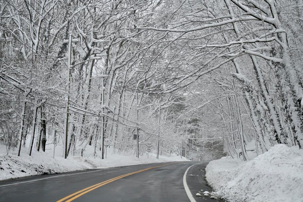
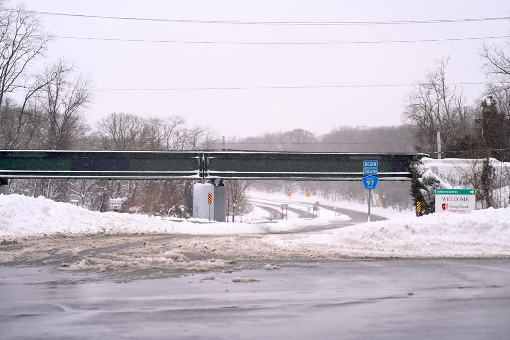
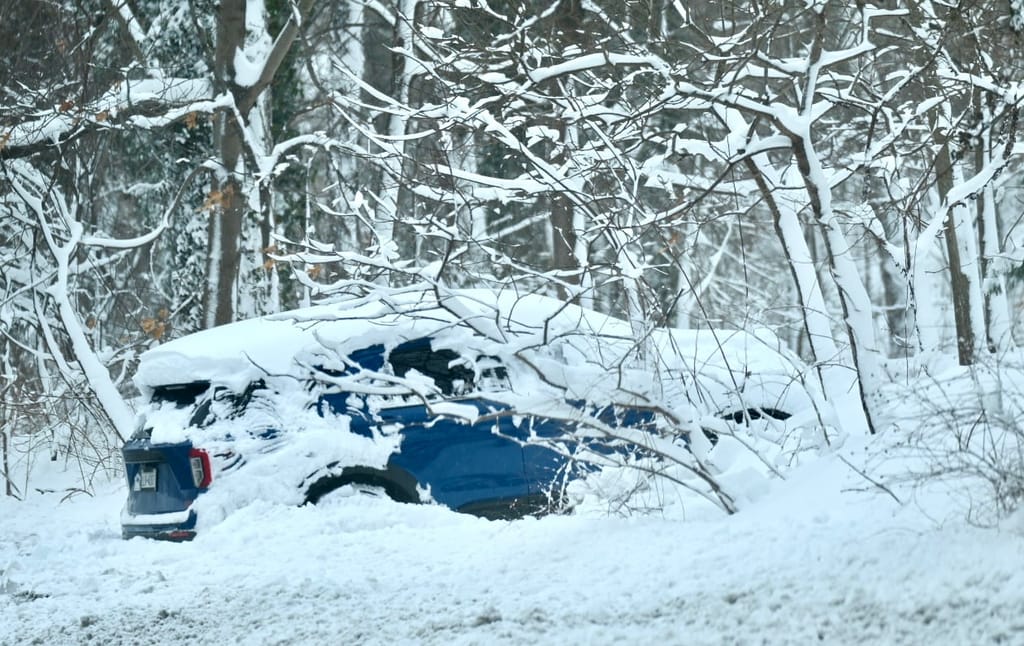
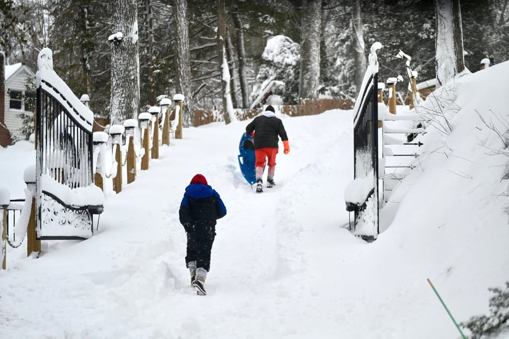
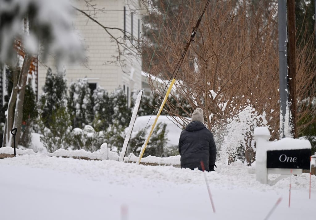
Long Island dug out Monday after the Blizzard of 2026 buried parts of Suffolk County under nearly 2 and 1/2 feet of snow, with ongoing tallies showing some of the highest totals in years.
According to the National Weather Service, the jackpot zone was in central and southeastern Suffolk, where Remsenburg-Speonk recorded 27.5 inches as of 10:13 a.m. Monday. North Patchogue saw 27.2 inches, Central Islip 27.0 and East Islip 26.5, with several other communities — including Quogue, Shirley and Nesconset — topping 25 inches.
Scroll down for more photos and to continue reading.
The latest from Samantha Augeri:
Even Islip MacArthur Airport, the official reporting station, clocked in at 22.5 inches, while Southampton, Bay Shore and Riverhead all hovered in the low- to mid-20s.
On the North Fork, Orient reported 22 inches.
Nassau County totals were slightly lower but still significant.
Bellmore and Bethpage each reported 21 inches, with East Meadow close behind at 20.8. Glen Cove measured 18 inches, while much of central Nassau ranged between 15 and 17 inches, as of the latest NWS data.
The storm, which brought heavy snowfall and wind gusts that topped 55 mph at times, created massive drifts, downed branches and caused scattered power outages across the Island.
Plows worked through the night and into Monday as residents began the slow process of digging out cars, sidewalks and driveways.
Forecasters said winds were expected to gradually ease later Monday, allowing cleanup efforts to ramp up.
The Long Island Rail Road also suspended services at 1 a.m. Monday until further notice.
“To resume when weather conditions permit,” a LIRR announcement reads.
Tuesday is expected to be sunny with a high of 31, though some snow is expected into the overnight Wednesday before turning to rain and temperatures climbing to highs of about 40 degrees Wednesday and Thursday.
All photos by Andrew Theodorakis from Stony Brook and Port Jefferson.
Your Long Island news, delivered.
Subscribe to the GLI Newsletter — its free