
Greater Long Island coverage is funded in part by Toresco & Simonelli, a boutique injury and family law firm in West Islip. They fight for their clients. Click here to get in touch.
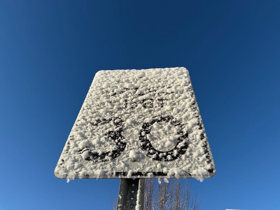
Long Island has just recorded its second significant snowfall of the winter.
According to the National Weather Service, Sunday night’s snowstorm blanketed the region in snow. Warmer temperatures on Monday helped melt some of the accumulation.
Commack recorded the highest snowfall in Suffolk County with 3.5 inches, while Roosevelt led Nassau County with 4.1 inches. In New York City, Queens saw the most snow, with LaGuardia Airport reporting 3.6 inches. (Scroll down for the latest snowfall totals.)
The season’s first meaningful snowfall occurred on Dec. 21, leaving up to 2 inches of snow across parts of Long Island, with Glen Cove experiencing the highest accumulation.
As for the rest of Martin Luther King Jr. Day, the NWS is forecasting increasingly cloudy skies with a high of 28 degrees. Wind chill will make it feel between 10-15 degrees.
Snow photos
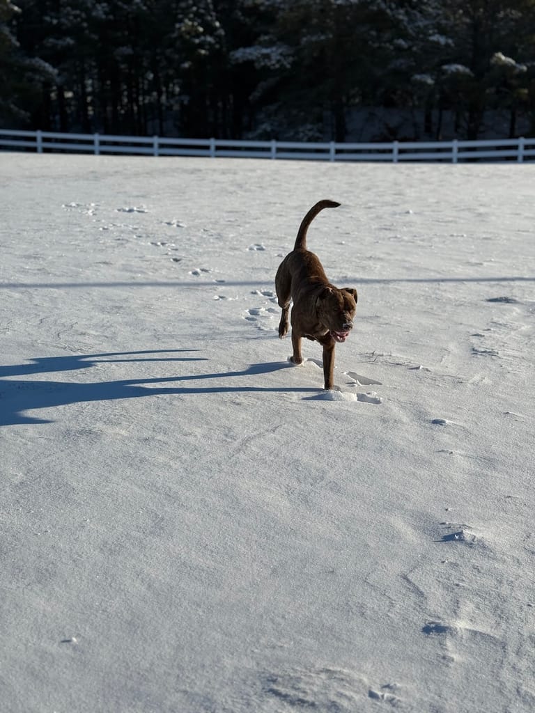

Send us your favorite snowy photos by emailing [email protected].
Snowfall totals
Nassau County
- Roosevelt (2 ENE): 4.1 in (10:18 PM, 01/19) – Public
- Syosset: 4.0 in (10:00 PM, 01/19) – Trained Spotter
- East Williston: 3.9 in (10:15 PM, 01/19) – Public
- East Meadow (1 ESE): 3.8 in (11:17 PM, 01/19) – Trained Spotter
- Sea Cliff: 3.6 in (10:42 PM, 01/19) – Public
- Massapequa: 3.2 in (10:00 PM, 01/19) – Public
- Farmingdale: 3.0 in (10:30 PM, 01/19) – Public
- Plainview: 3.0 in (10:28 PM, 01/19) – Public
- Manhasset Hills: 2.6 in (12:27 AM, 01/20) – CoCoRaHS
- East Meadow (1 E): 2.5 in (10:38 PM, 01/19) – NWS Employee
- Levittown: 2.5 in (9:30 PM, 01/19) – Trained Spotter
- East Meadow: 2.1 in (9:50 PM, 01/19) – NWS Employee
- Roosevelt (1 NE): 2.0 in (10:30 PM, 01/19) – Broadcast Media
- Plainedge (2 SSE): 2.0 in (8:14 PM, 01/19) – Public
- East Rockaway: 1.8 in (9:35 PM, 01/19) – Public
- Elmont: 1.0 in (7:12 PM, 01/19) – Public
Suffolk County
- Commack: 3.5 in (10:00 PM, 01/19) – Public
- Babylon: 3.3 in (9:51 PM, 01/19) – Public
- Port Jefferson: 3.3 in (10:20 PM, 01/19) – Trained Spotter
- Centereach: 3.2 in (10:40 PM, 01/19) – NWS Employee
- Stony Brook: 3.0 in (10:30 PM, 01/19) – NWS Employee
- Mount Sinai: 2.8 in (10:00 PM, 01/19) – Trained Spotter
- Islip: 2.3 in (11:45 PM, 01/19) – Official NWS Obs
- Deer Park: 1.9 in (8:25 PM, 01/19) – Amateur Radio
- Upton: 1.9 in (9:30 PM, 01/19) – Official NWS Obs
- Huntington Station: 1.8 in (10:00 PM, 01/19) – NWS Employee
- Bellport: 1.5 in (9:45 PM, 01/19) – Trained Spotter
- Hampton Bays: 1.5 in (11:09 PM, 01/19) – Public
- North Patchogue: 1.5 in (12:35 AM, 01/20) – Public
- Ridge (1 SE): 1.5 in (12:00 AM, 01/20) – Public
- East Islip: 1.1 in (8:20 PM, 01/19) – Amateur Radio
New York City
Manhattan County
- Midtown Manhattan (1 SSE): 1.8 in (9:50 PM, 01/19) – Public
- Central Park: 1.6 in (12:00 AM, 01/20) – Official NWS Obs
Queens County
- LaGuardia Airport: 3.6 in (12:00 AM, 01/20) – Official NWS Obs
- Howard Beach: 3.5 in (11:00 PM, 01/19) – Public
- Fresh Meadows (1 SE): 2.7 in (11:35 PM, 01/19) – Public
- Bellerose (2 WSW): 2.3 in (9:00 PM, 01/19) – Public
- JFK Airport: 2.2 in (12:00 AM, 01/20) – Official NWS Obs
- Little Neck: 2.0 in (10:30 PM, 01/19) – Trained Spotter
Kings County
- Bedford-Stuyvesant: 3.0 in (9:00 PM, 01/19) – Public
- Sheepshead Bay (1 NNE): 3.0 in (10:30 PM, 01/19) – Public
- Midwood: 2.7 in (12:22 AM, 01/20) – Broadcast Media
- Sheepshead Bay: 2.5 in (11:00 PM, 01/19) – Trained Spotter
Your Long Island news, delivered.
Subscribe to the GLI Newsletter — its free