


Greater Patchogue coverage is funded in part by New Village at Patchogue, offering open-concept rental residences with contemporary design in the heart of downtown Patchogue.
Friday PM: The National Weather Service has raised its precipitation counts predictions to 10 to 18 inches.
Click here for the NWS’s new snow accumulation potential maps.
Friday AM: A blizzard warning is now in effect across Long Island and the five boroughs, with the National Weather Service predicting strong, damaging winds, coastal flooding and predicting 7 to 12 inches of accumulation.
Related: Patchogue Village preps for blizzard
Related: Bellport’s new salt shed completed just in time for storm
The blizzard warning is in effect from 4 a.m. Saturday to noon Sunday, during which time temperates will be in the upper 20s to lower 30s. Heavier snow should start falling at 5 a.m.
The NWS says the blizzard should pack “heavy snow along with strong and potentially damaging winds, blowing and drifting snow and near zero visibilities” from Saturday afternoon into the evening.
A high surf advisory is also in effect from 6 a.m. to 6 p.m. Saturday.
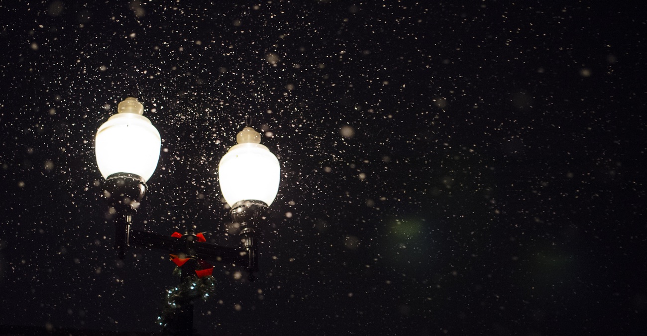
courtesy stock photo

Your Long Island news, delivered.
Subscribe to the GLI Newsletter — its free