
Greater Long Island coverage is funded in part by Toresco & Simonelli, a boutique injury and family law firm in West Islip. They fight for their clients. Click here to get in touch.
It’s likely going to be a wet weekend for Long Islanders.
And those hoping for a little snow might just get their wish, albeit briefly.
That is, unless you live in or are traveling to the Lower Hudson Valley or the interior of Southern Connecticut, then you’re probably looking at 4 to 6 inches.
This all is according to the National Weather Service, whose latest updates on a coming storm from Saturday into Sunday has Long Islanders seeing more rain this winter.
Here’s what the NWS is saying:
- There’s a low probability of accumulating snow or sleet for NYC and the coast.
- The LHV and interior Western Connecticut will sees about 4 to 6 inches of snow fall.
- There’s likely going to be a period of strong winds (gusts up to 50 mph) across Long Island.
What’s still being called a “potential” winter storm would happen Saturday evening into Sunday.
Here’s the current forecast for central Long Island, as per the NWS:
Saturday
A chance of rain and snow after 1 p.m. Cloudy, with a high near 41. Light and variable wind becoming east 5 to 8 mph in the morning. Chance of precipitation is 40 percent.
Saturday Night
Rain. Steady temperature around 37. Breezy. Chance of precipitation is 90 percent. New precipitation amounts between three quarters and one inch possible.
Sunday
Rain likely before 1 p.m., then a chance of rain and snow. Cloudy, with a high near 38. Breezy. Chance of precipitation is 60 percent.
Sunday Night
Mostly cloudy, with a low around 29.
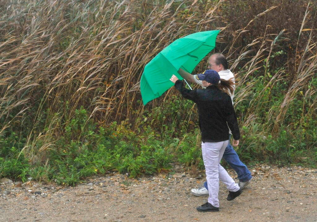
Top: A couple uses an umbrella to shield themselves from the driving rain from Hurricane Earl as they walk a beach path on the grounds of the Montauk Point Lighthouse on Friday, Sept. 3, 2010 in, N.Y. (AP Photo/Kathy Kmoni Montauk cek)
Your Long Island news, delivered.
Subscribe to the GLI Newsletter — its free