
Greater Long Island coverage is funded in part by Toresco & Simonelli, a boutique injury and family law firm in West Islip. They fight for their clients. Click here to get in touch.
It looks like we will might actually get meaningful snowfall this winter after all.
After a historically warm season with little-to-no accumulation, forecasters are now predicting the first “widespread plowable snowfall” of winter on Long Island.
The National Weather Service put a Winter Weather Advisory in effect for Monday, Feb. 27 at 6 p.m. through 1 p.m. on Tuesday, Feb. 28.
The NWS is expecting 2-5 inches of wet and heavy snowfall across the island, with some of its larger accumulation coming to northwestern Nassau County. Winds could gust as high as 35 mph.
Below is the expected accumulations, per NWS.

“Wet and slushy” snow could fall at 1 inch/hour during the evening, the NWS is reporting. Temperatures are expected to be lower-to-mid 30s Monday afternoon, rising into the mid-to-upper 30s on Tuesday.
“Plan on slippery road conditions,” reads the advisory by the NWS. “The hazardous conditions could impact the morning and evening commute.”
Minor coastal flooding is also expected Tuesday morning on Nassau’s south shore.
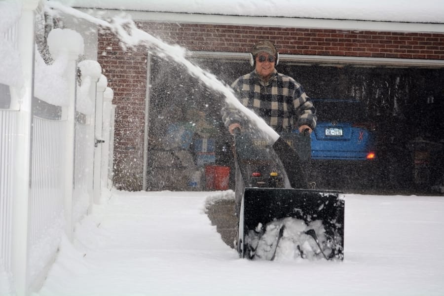
Top: File photo from snowfall in January 2022 on Long Island. (Credit: Nick Grasso)
Your Long Island news, delivered.
Subscribe to the GLI Newsletter — its free