
Greater Long Island coverage is funded in part by Toresco & Simonelli, a boutique injury and family law firm in West Islip. They fight for their clients. Click here to get in touch.
If you think there’s a crash a day on the Sunken Meadow and Sagtikos parkways, you’re wrong. There’s actually more.
The 11.3-mile stretch of highway from West Islip to Kings Park averages 1.4 crashes per day, and given the rate of car wrecks on the roadway that have involved serious injuries and deaths, it has been the most dangerous north-south highway on Long Island over the last two years.
That’s according to an analysis of state Department of Transportation (DOT) crash data for 2022 and 2023, which Greater Long Island received through a Freedom of Information request.
The data also shows 20 crashes involving serious injuries occurred on the Sunken Meadow and Sagtikos parkways — which are lesser known as NYS Route 908K — more than any other north-south highway in Nassau or Suffolk counties over the time period.
Nearly 1,000 crashes, precisely 979, were reported on the Sunken Meadow and Sagitkos parkways, according to the DOT, from Jan. 1, 2022, through Dec. 19, 2023, when the data was pulled.
Four people also lost their lives in four separate crashes on the highway over the past two years.
How that compares
The Sunken Meadow-Sagtikos parkway run isn’t the most crash-prone north-south highway on Long Island, however — considering the time period studied.
That distinction goes to the Meadowbrook State Parkway, which stretches 12.5 miles from Jones Beach to Carle Place in Nassau County.
The Meadowbrook saw 1,597 crashes in 2022 and 2023. Sixteen of those involved serious injuries. Three wrecks involved fatal injuries, and four people lost their lives.
On average, the highway records 2.2 crashes per day. But the percentage chance of a crash being serious is much higher on the Sunken Meadow and Sagtikos, the data shows.
Just under 2.5 percent of Sunken Meadow-Sagtikos crashes in 2022 and 2023 involved serious or fatal injuries. On the Meadowbrook, that figure drops below 1.2 percent.
What’s the problem?
One might think the Sunken Meadow and Sagtikos run would be the safest among Long Island’s north-south highways, considering it consists of just four lanes, excluding entrance and exit ramps, for its entire stretch. How much could possibly go wrong?
But the opposite is true of four-lane highways.
“Four-lane divided freeways (all controlled access highways are considered freeways) usually experience more crashes than six-lane and eight-lane freeways for the volume of traffic,” said Dominique Lord, a highway safety expert and professor of civil and environmental engineering at Texas A&M University.
“For the same volume, the headways between vehicles and the feasibility of changing lanes are smaller for four-lane highways,” he continued. “On six or eight lanes, there is more space. Hence, if a driver needs to make an evasive maneuver, there is a smaller risk of hitting another vehicle or running off the road.”
In an interview, Dr. Lord stressed that he was speaking in generalities, as he’s not intimately familiar with Long Island’s parkway system.
But he did take the time to study the highways through Google street-level photography and satellite images.
“As for Sagtikos-Sunken Meadow Parkway, this could be attributed to the large traffic volume, given the number of lanes … there are no tight curves. Could the increase crash risk be attributed to the very narrow shoulder widths, raised curbs, clear zones and the location of the exit and entrance ramps? One would need to look where and when these crashes occur to have a better picture.”
How about the safest north-south highway?


Seaford-Oyster Bay Expressway, or NY Route 135, saw the least amount of crashes among Long Island’s four major north-south highways in 2022 and 2023.
The expressway, which goes 10.8 miles connecting Seaford and Syosset and is patrolled by Nassau County police, averaged less than 1 crash (.92) per day, also the lowest rate on our list.
Nine of the crashes involved serious injuries, and one was fatal.
But it’s not a parkway. The parkways started being built in the late 1920s, specifically to bring New York City travelers out east to enjoy Long Island’s fledgling state park system.
The parkways were built for a different time, and a different car.
In the 1930s, a typical family car’s speed topped out at around 50 to 60 mph. Work on the Seaford-Oyster Bay was completed in 1969, also making it the youngest of the north-south routes.
Dr. Lord noted that expressways typically have wide left and right shoulder widths, with clear zone widths that are “quite large and flat,” even a median width that is often larger than with parkways.
“Often [on expressways] there is a cable or concrete barrier in the middle,” he said.
“Parkways usually may have lower design standards compared to traditional freeways,” Dr. Lord added. “By that, I mean the shoulder width and the clear zone width — distance between the painted white line and the edge of the objects on the side of the road, such as trees — are smaller.
“The foreslope could be steeper and horizontal curves may have shorter radiuses. Hence, because of these factors, these highways may experience more crashes than expected. The number and types of ramps, interchange can also influence crash risk.”
A Nassau police spokesperson, Detective Lt. Richard LeBrun, said the Seaford-Oyster Bay Expressway is patrolled by the department’s Highway Patrol Unit, adding, “These professionals are proactive, continue to enforce the Vehicle and Traffic Law and educate the public, thus keeping our roads safe.”
Wantagh State Parkway
Falling right between everything is the Wantagh State Parkway, the first section of which opened to motorists on Aug. 4, 1929. It runs from Jones Beach to Westbury, covering 12.33 miles along the way. It was fully completed on Dec. 17, 1938.
The Wantagh averages just a shade over one crash a day, with 726 crashes reported in the 718-day time frame studied. Twelve of those crashes involved serious injuries. Five were fatal.
The likelihood of a crash being serious on the Wantagh Parkway is 2.3 percent.
Speed kills
New York State Police supplied Greater Long Island with six years’ worth of fatal crash data from all of Long Island’s parkways — north to south and east to west — though not broken down by parkway.
From 2018 to 2023, a total of 136 fatalities occurred across Long Island’s parkways, which are patrolled by the sate.
Of those fatal crashes, 85 involved a high rate of speed as the primary factor.
Another 24 involved a car moving from a lane unsafely. Other factors included medical events (seven), following too closely (four), stopped vehicles in the roadway (two) and driver inattention (one).
It’s clear that speeding is the primary cause of death in a staggering number of fatalities on Long Island’s parkways, a number that doesn’t include the expressways and other roads.
State cops have two simple words for local drivers: slow down.
“We would like to remind the public that driving is a shared responsibility and to slow down, limit your distractions and arrive to your destination safely,” said Trooper Brittany Burton, a state police spokesperson.
“The New York State Police is committed to keeping our roadways safe,” she added. “Our troopers are dedicated to traffic safety and work hard to reduce the number of incidents on the roadways.”
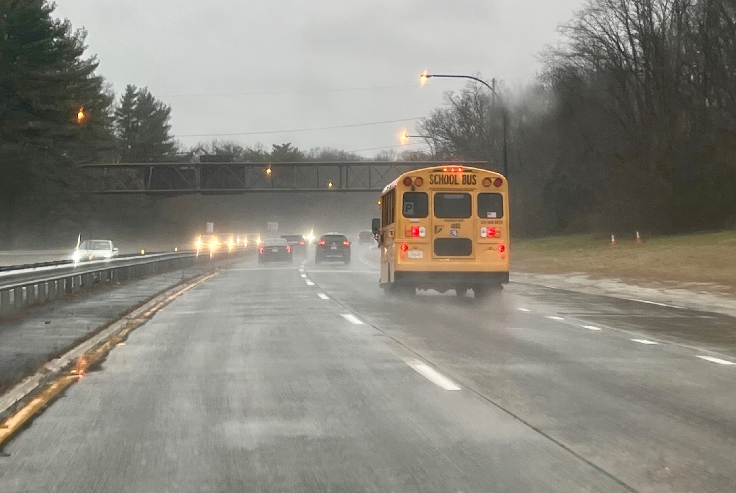
Photo: A northbound stretch of Sunken Meadow State Parkway around Commack on Jan. 9, 2024. (Credit: Greater Long Island/Michael White
Your Long Island news, delivered.
Subscribe to the GLI Newsletter — its free